

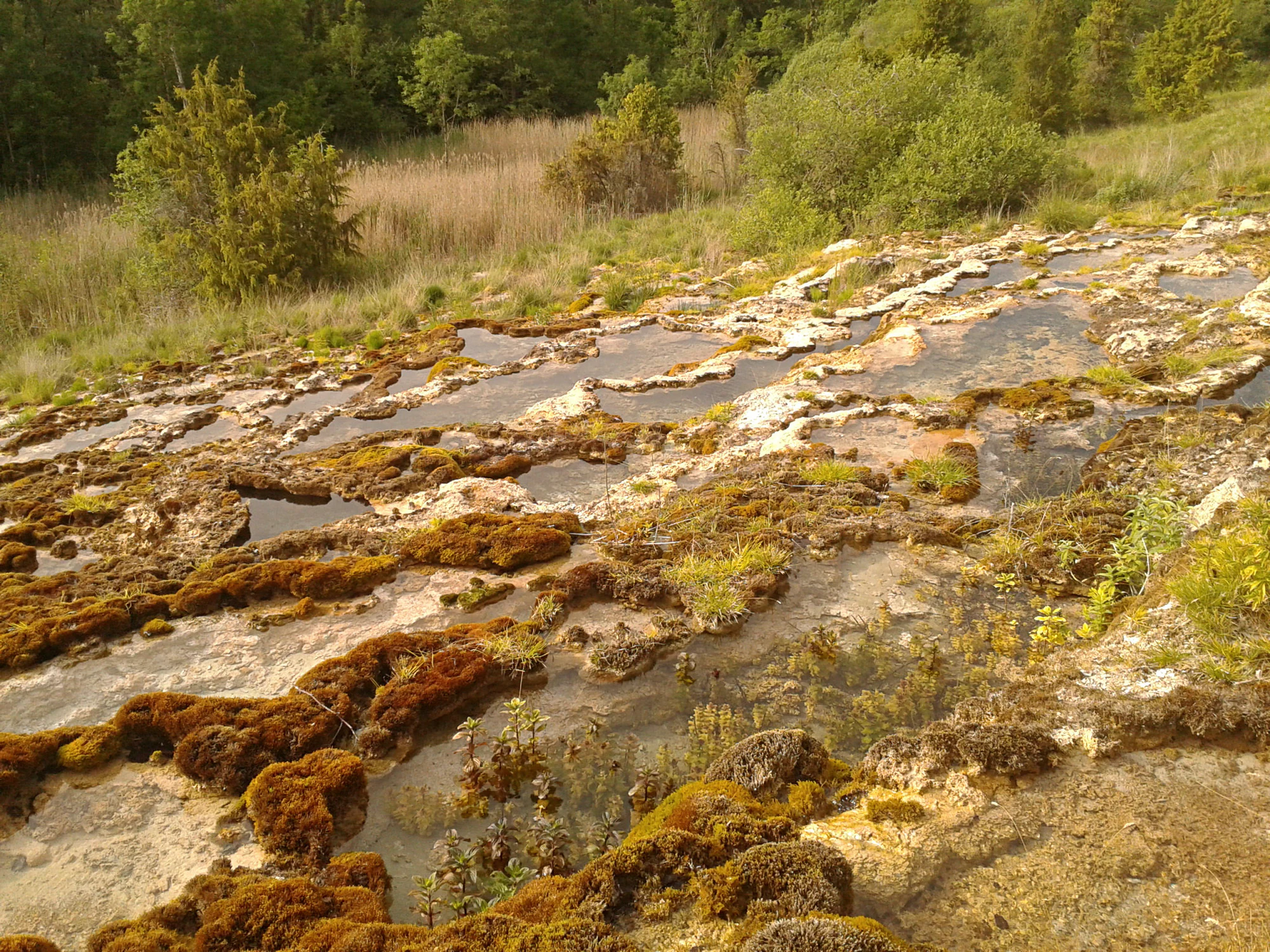
Sentier de découverte de la Source de l’Aube
The official route is an easy 4 km loop with 52 m of ascent and 53 m of descent, starting and finishing at the Parking des sources de l’Aube in Auberive commune. From the village, follow the road signs for Sources de l’Aube, then the route towards the ferme de la Salle to the parking. Use the linked route map for the walking line; forest junctions are not a place to rely on an improvised shortcut.
The trail connects the sources and riverbanks with La Thuilière, before a more wooded return. Eight interpretation panels give the walk a clear theme. At the beginning, notice how modest the river is; later, ask how water could have helped a working settlement. In the woods, let the change in shade and ground vegetation become part of the story. The official description mentions dragonflies and mayflies, but their visibility depends on season and weather.
Plan this as a woodland walk on natural ground. The route’s small total ascent does not establish the steepness of individual sections or the condition of the surface. Keep the group together at wet edges. If you need to turn back, retrace the same open path rather than assuming a shortcut completes the loop.

















