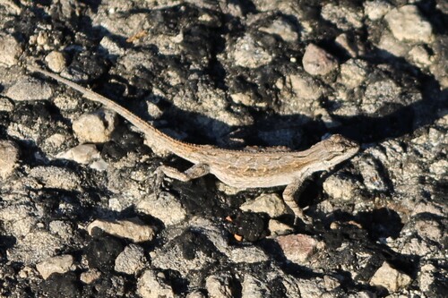


May 29, 2026
i
Photo attribution
(c) Matt D'Agrosa, some rights reserved (CC BY)
License: CC BY 4.0 ↗
Image may be shown cropped inside the card frame.
Lost Maples State Natural Area offers a rare and stunning display of fall colors in the heart of Texas Hill Country.
Lost Maples State Natural Area offers a rare and stunning display of fall colors in the heart of Texas Hill Country. This protected sanctuary, spanning nearly 3,000 acres, is celebrated for its breathtaking natural beauty, encompassing rugged limestone canyons, serene spring-fed streams, and diverse woodlands. While renowned for its autumnal spectacle, the area provides a spectacular natural escape year-round, inviting visitors to discover its unique ecological treasures.
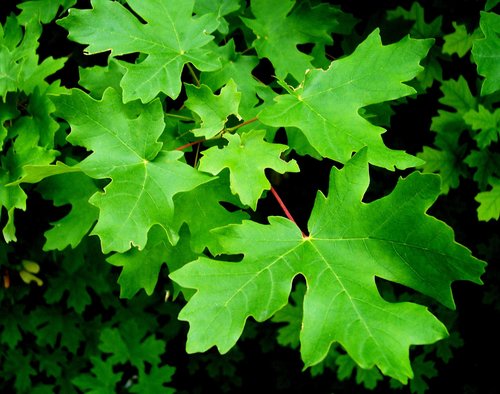
The area's primary draw is its isolated stand of Uvalde Bigtooth Maples, a relic population from a cooler, wetter past that transforms into a vibrant palette of red, orange, and gold each fall. Beyond these iconic trees, the Sabinal River and Can Creek wind through the landscape, nurturing rich riparian ecosystems and providing opportunities for fishing and wildlife viewing. Hikers can explore unique geological formations like the striking Monkey Rock and the tranquil, spring-fed Grotto, or ascend to scenic overlooks for panoramic views of the canyons. The park is also a haven for birdwatchers, home to diverse species including the endangered Golden-cheeked Warbler and the elusive Green Kingfisher.
Visiting Lost Maples is an immersive experience, offering a peaceful retreat into nature where every season reveals new wonders. Whether you're seeking challenging hikes, quiet moments by the river, or spectacular photographic opportunities, the natural area provides an unforgettable adventure. Its commitment to preserving its wild state ensures a genuine encounter with Texas's natural heritage, making it a memorable destination for all who venture within its boundaries. Wondering what that bird or insect is? Find out on your visit using the Snappit nature app.
Lost Maples State Natural Area was established to preserve its distinctive natural environment, particularly its unique Bigtooth Maple populations. The state of Texas acquired the initial land in 1973 and 1974, officially opening the site to the public on September 1, 1979. In 1980, its ecological significance was recognized nationally when it was designated a National Natural Landmark. The "Natural Area" designation emphasizes conservation and nature study over extensive recreational development, ensuring the protection of its sensitive ecosystems. Evidence suggests that humans, including Apache, Lipan Apache, and Comanche tribes, have inhabited or foraged in this area since prehistoric times, with ranching becoming prevalent in the mid-1800s.
Explore over 10 miles of hiking trails with varying difficulty levels, go camping in developed or primitive sites, fish in the Sabinal River or Can Creek (no license needed from shore/pier in a state natural area), observe diverse wildlife and birds, and enjoy exceptional stargazing opportunities due to low light pollution.
Fall (October-November): Expect spectacular fall colors and significant crowds, especially on weekends. Reservations are highly recommended.
Spring (March-May): Wildflowers bloom, and migratory birds like the Golden-cheeked Warbler are active. This is also a busy period.
Summer: Can be very hot; hike early in the day.
Winter (February): Milder temperatures and fewer visitors, offering a peaceful experience.
Most trails at Lost Maples State Natural Area feature rugged, unlevel terrain with loose rocks and steep steps, making them generally unsuitable for mobility aids and strollers. Visitors with mobility concerns should check with park staff for specific trail information. Developed campsites offer composting toilets and hot showers.
The colorful Uvalde Bigtooth Maples (especially in autumn), the scenic Sabinal River, the challenging trails leading to panoramic views, unique geological formations like Monkey Rock, and the tranquil Grotto.
Each card links to a full Explore page with photos, traits, and fun facts.
We are still adding species preview cards for this place.
Start with the big picture, then zoom in to explore individual wildlife observations around this place.
Make Reservations
During the busy fall foliage season (October-November) and spring, day passes and campsites often sell out in advance. Reserve your passes and sites online as early as possible.
Arrive Early
Especially on weekends during peak seasons, arrive early to secure parking, as the park has a limit of 250 vehicles. Consider visiting on weekdays to avoid crowds.
Prepare for the Trails
Wear sturdy hiking shoes with good ankle support due to uneven, rocky, and steep terrain. Bring plenty of water (at least a quart per hour of activity), sunscreen, and insect repellent.
No Cell Service
Cell phone service is largely unavailable within the natural area. Download or print maps and essential information before your visit. Public Wi-Fi is available at the headquarters.
Stay on Marked Trails
To protect the sensitive environment, particularly the shallow roots of the Uvalde Bigtooth Maples, and for your own safety, always stay on designated trails.
Practice Leave No Trace
Pack out all trash, do not disturb plants or wildlife, and use only containerized cooking in primitive camping areas to minimize impact on the natural environment.
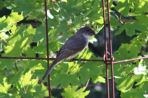
May 29, 2026
Photo attribution
(c) Matt D'Agrosa, some rights reserved (CC BY)
License: CC BY 4.0 ↗
Image may be shown cropped inside the card frame.
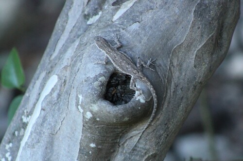
May 29, 2026
Photo attribution
(c) Matt D'Agrosa, some rights reserved (CC BY)
License: CC BY 4.0 ↗
Image may be shown cropped inside the card frame.
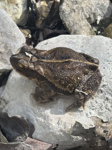
May 28, 2026
Photo attribution
(c) Matt D'Agrosa, some rights reserved (CC BY)
License: CC BY 4.0 ↗
Image may be shown cropped inside the card frame.
May 28, 2026
Photo attribution
(c) Matt D'Agrosa, some rights reserved (CC BY)
License: CC BY 4.0 ↗
Image may be shown cropped inside the card frame.
May 28, 2026
Photo attribution
(c) Matt D'Agrosa, some rights reserved (CC BY)
License: CC BY 4.0 ↗
Image may be shown cropped inside the card frame.

Maryland, US
You might spot White-Tailed Deer and Eastern Gray Squirrel.
View guide →
.jpg)
District of Columbia, US
You might spot Eastern Gray Squirrel, Duck, and House Sparrow.
View guide →

Illinois, US
You might spot American Robin, Canada Goose, and House Sparrow.
View guide →
Virginia, US
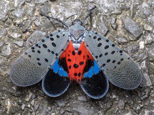
You might spot Spotted Lanternfly and Northern Cardinal.
View guide →