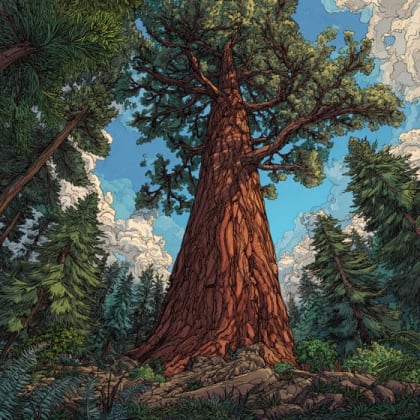


Sequoia
The Generals' Highway Stone Bridges offer a charming glimpse into historic "Parkitecture" amidst the majestic landscapes of Sequoia National Park.
The Generals' Highway Stone Bridges offer a charming glimpse into historic "Parkitecture" amidst the majestic landscapes of Sequoia National Park. These beautifully crafted structures are not merely crossings but integral parts of a scenic journey, blending seamlessly with the towering sequoias and rugged Sierra Nevada terrain. They exemplify a timeless design philosophy that prioritizes harmony between human-made structures and natural beauty.
The district encompasses two primary bridges: the Marble Fork Bridge, nestled in a wooded setting over the Marble Fork of the Kaweah River, and the Clover Creek Bridge, which dramatically spans Clover Creek amidst a more open, granite-strewn canyon. These reinforced concrete barrel arches are artfully faced with uncoursed native stone, giving them a rustic, almost naturally occurring appearance. Driving or walking across these bridges offers distinct perspectives, from the tranquil forest along the Marble Fork to the expansive views provided by the Clover Creek crossing.
Visiting the Generals' Highway Stone Bridges provides more than just a historical appreciation; it's an invitation to explore the heart of Sequoia National Park. These bridges are gateways to unparalleled natural wonders, including groves of giant sequoias, scenic overlooks, and opportunities for wildlife viewing. They serve as memorable stops along a truly iconic American road trip, inviting visitors to pause, admire, and connect with the enduring grandeur of both human ingenuity and nature's masterpieces. Be ready to snap and learn! Get the Snappit app to identify any nature species you find here.
and architecture enthusiasts * Nature photographers * Families exploring national parks
Drive the scenic Generals Highway, stopping at various overlooks and points of interest.
* Get out of your car at the bridges to appreciate their "Parkitecture" and the surrounding natural beauty.
* Explore nearby Giant Sequoia groves, accessible from the highway.
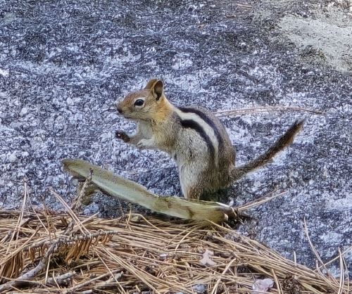
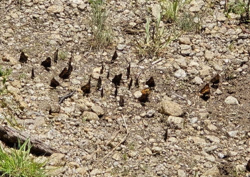
* Look for wildlife, including black bears, deer, and various bird species common in the park.
Winter: Generals Highway can be subject to temporary closures due to snow and ice, especially between Hospital Rock and Giant Forest Museum. Tire chains may be required. Access to Tunnel Log in winter typically requires hiking, snowshoeing, or skiing.
Summer: Expect slower speeds, potential traffic delays, and crowded parking, especially during peak months. Shuttle services are often available to reduce congestion.
The Generals Highway itself is a paved road. While specific accessibility details for viewing the bridges themselves are limited, the nearby Tunnel Log area is noted as wheelchair accessible, and Hospital Rock Picnic Area offers paved paths and accessible exhibits. Parking at the Giant Forest Museum provides access to the accessible Big Trees Trail. Visitors should be aware that portions of Generals Highway are narrow and curvy.
Admire its rustic design nestled in a wooded setting. Park at the Lodgepole Picnic Area for good views of the bridge and river.
Experience its impressive setting amidst bare granite and expansive views. A parking area just past the west end offers excellent photo opportunities.
The bridges are part of this iconic drive, connecting to major attractions like the Giant Forest, General Sherman Tree, Moro Rock, and Tunnel Log.
Each card links to a full Explore page with photos, traits, and fun facts.
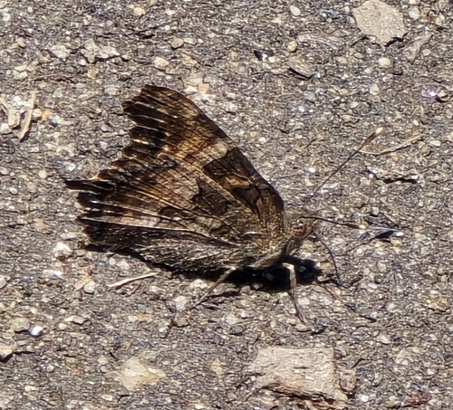
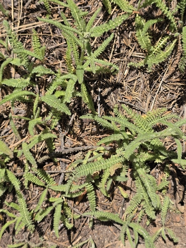
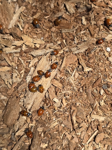
Start with the big picture, then zoom in to explore individual wildlife observations around this place.
Check Road Conditions
Always check the official Sequoia & Kings Canyon National Parks website or call their road conditions hotline before visiting, especially outside of summer, as sections of Generals Highway can close due to snow or construction.
Allow Ample Time
The Generals Highway is narrow and winding, with many curves. Expect slow travel speeds (20 mph or less) and plan for potential delays due to traffic, wildlife, or scenic stops.
Pack Essentials
There is no gasoline available within the national parks, and food options can be limited. Bring plenty of water, snacks, and a full tank of gas.
Get Out and Explore
While the bridges are visible from the road, parking and walking to viewpoints (e.g., Lodgepole Picnic Area for Marble Fork Bridge, or the Clover Creek Bridge pull-off) offers the best experience and photo opportunities.
Utilize Shuttles
During busy summer months, consider using park shuttles to access popular areas like Giant Forest and Moro Rock to avoid parking difficulties and reduce traffic congestion.
Download Offline Maps
Cell service is spotty within the park, so download park maps and trail guides before your visit.
Jun 3, 2026
Photo attribution
(c) Dan Killam, some rights reserved (CC BY)
License: CC BY 4.0 ↗
Image may be shown cropped inside the card frame.
Jun 3, 2026
Photo attribution
(c) Dan Killam, some rights reserved (CC BY)
License: CC BY 4.0 ↗
Image may be shown cropped inside the card frame.
Jun 3, 2026
Photo attribution
(c) Dan Killam, some rights reserved (CC BY)
License: CC BY 4.0 ↗
Image may be shown cropped inside the card frame.
Jun 3, 2026
Photo attribution
(c) Dan Killam, some rights reserved (CC BY)
License: CC BY 4.0 ↗
Image may be shown cropped inside the card frame.
Jun 3, 2026
Photo attribution
(c) Dan Killam, some rights reserved (CC BY)
License: CC BY 4.0 ↗
Image may be shown cropped inside the card frame.

Maryland, US
You might spot White-Tailed Deer and Eastern Gray Squirrel.
View guide →
.jpg)
District of Columbia, US
You might spot Eastern Gray Squirrel, Duck, and House Sparrow.
View guide →

Illinois, US
You might spot American Robin, Canada Goose, and House Sparrow.
View guide →
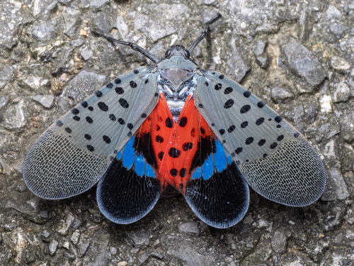
Virginia, US
You might spot Spotted Lanternfly and Northern Cardinal.
View guide →