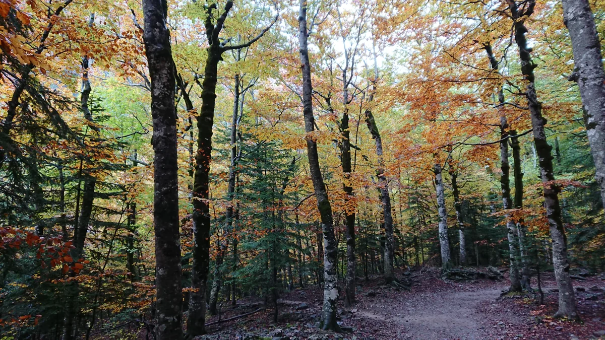
Pradera adapted path: the gentle introduction
From the signed adapted-path start at the eastern end of the Pradera car park, follow the marked route alongside the Arazas, across the river and into woodland. Continue only as far as suits your group, then return the same way. The full path reaches a resting area facing the Cotatuero cirque. The documented length is 1.2 km each way, about 2.4 km for the return trip, plus the approach from the shuttle stop; the route sources list 30 m of elevation change. Allow 1¼–2 hours with pauses. Stay with the adapted-path signs where longer routes branch away.
COCEMFE Aragón describes earth-and-concrete surfacing, rest areas and some pavement deterioration. Ask about the section’s current condition before setting out; wet leaves, ice and damaged surfaces can change what is manageable.