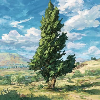


Passion Flower

Marked Tree Lock and Siphons showcases a unique blend of human ingenuity and the enduring power of nature.
Marked Tree Lock and Siphons showcases a unique blend of human ingenuity and the enduring power of nature. This historic district protects an extraordinary flood control system that shaped the landscape and history of the St. Francis River Basin. It offers a fascinating glimpse into early 20th-century engineering designed to tame the wild waters of Arkansas's "Sunken Lands."
Visitors can explore the impressive Marked Tree Siphons, massive steel tubes that perform a gravity-powered feat of hydraulic engineering, lifting an entire river's flow over an earthen levee without continuous pumping. Adjacent to this modern marvel lies the historic Marked Tree Lock, a testament to earlier navigation efforts on the St. Francis River, now decommissioned but still standing as a concrete relic. The structures are set amidst the tranquil, flood-prone lands shaped by the historic New Madrid Earthquakes, offering a serene environment for reflection and discovery.
Beyond the engineering spectacle, the site provides a peaceful setting to enjoy the St. Francis River, a haven for fishing and birdwatching, especially for local waterfowl. Its historical significance and the innovative solutions it represents make Marked Tree Lock and Siphons a compelling destination for those interested in history, engineering, and the subtle beauty of Arkansas's delta region. Take the ultimate field guide with you: use the Snappit app to identify birds, plants, and animals on your trip.
The Marked Tree Lock and Siphons stand as a monumental response to the persistent flooding that plagued the St. Francis River Basin, particularly after the devastating Great Mississippi Flood of 1927. The area, known as the "Sunken Lands" due to the New Madrid Earthquakes of 1811-1812, was historically prone to the river overflowing its banks, severely impacting agriculture and transportation. In 1924, a sluiceway and the original lock were permitted and completed by 1926 to maintain the river channel and allow navigation. However, these initial structures proved insufficient. Following further damage and the cessation of river navigation in the mid-1930s, the U.S. Army Corps of Engineers designed and installed the groundbreaking Marked Tree Siphons. Constructed between December 1938 and June 1939 at a cost of $215,000, these three nine-foot-diameter, 228-foot-long electronically welded steel tubes were hailed as a unique and highly efficient engineering marvel. Both the 1924 lock and the siphons were listed on the National Register of Historic Places on May 2, 1988, recognizing their exceptional design and crucial role in the St. Francis River Basin Flood Control Project. The lock is no longer in use, but the siphons continue to operate effectively under the management of Drainage District Number Seven.
Observe the intricate design of the siphons and the former lock.
* Learn about the history of flood control in the Arkansas Delta.
* Enjoy a peaceful walk along the riverbanks or on the levee.
* Photography of the engineering structures and natural scenery.
* Consider visiting nearby Cypress Park for picnicking and fishing opportunities on the St. Francis River.
Spring: Pleasant temperatures, potentially higher water levels due to rainfall, increasing bird activity.
Summer: Hot and humid, so early morning visits are recommended. The river might be lower, revealing more of the banks.
Fall: Comfortable temperatures, changing foliage along the river, good for birdwatching as migratory species pass through.
Winter: Cold, but potentially clear views of the structures and less foliage to obscure views.
Both the lock and siphons are generally accessible to the public, although specific details on paved trails are not explicitly mentioned. Some areas might involve walking on unpaved surfaces or narrow bridges.
Observe the massive steel tubes that remain operational, demonstrating a unique feat of hydraulic engineering.
Though decommissioned, the concrete structure of the 1926 lock offers a glimpse into earlier flood control and navigation efforts.
Walk along the levee that the siphons traverse, providing views of both the St. Francis River and the surrounding landscape.
Enjoy the river environment, known for fishing and as a habitat for waterfowl.
Each card links to a full Explore page with photos, traits, and fun facts.
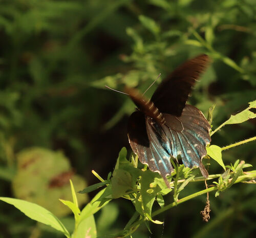
Start with the big picture, then zoom in to explore individual wildlife observations around this place.
Wear comfortable shoes suitable for walking on potentially uneven or unpaved surfaces.
Bring binoculars for birdwatching and observing distant features of the siphons and river.
Pack water and snacks, as on-site facilities may be limited.
Visit during the week or off-peak hours for a more serene experience.
Check local weather forecasts before your visit, especially during spring and summer, and dress accordingly.
Consider a stop at the Marked Tree Delta Area Museum in town to delve deeper into local history, including the origins of the town's unique name and the region's connection to the "marked tree" legend.
Sep 9, 2025
Photo attribution
(c) hr_dragonfly, some rights reserved (CC BY)
License: CC BY 4.0 ↗
Image may be shown cropped inside the card frame.
Sep 9, 2025
Photo attribution
(c) hr_dragonfly, some rights reserved (CC BY)
License: CC BY 4.0 ↗
Image may be shown cropped inside the card frame.
Sep 9, 2025
Photo attribution
(c) hr_dragonfly, some rights reserved (CC BY)
License: CC BY 4.0 ↗
Image may be shown cropped inside the card frame.
Sep 9, 2025
Photo attribution
(c) hr_dragonfly, some rights reserved (CC BY)
License: CC BY 4.0 ↗
Image may be shown cropped inside the card frame.
Sep 9, 2025
Photo attribution
(c) hr_dragonfly, some rights reserved (CC BY)
License: CC BY 4.0 ↗
Image may be shown cropped inside the card frame.

Maryland, US
You might spot White-Tailed Deer and Eastern Gray Squirrel.
View guide →
.jpg)
District of Columbia, US
You might spot Eastern Gray Squirrel, Duck, and House Sparrow.
View guide →

Illinois, US
You might spot American Robin, Canada Goose, and House Sparrow.
View guide →
Virginia, US
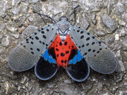
You might spot Spotted Lanternfly and Northern Cardinal.
View guide →